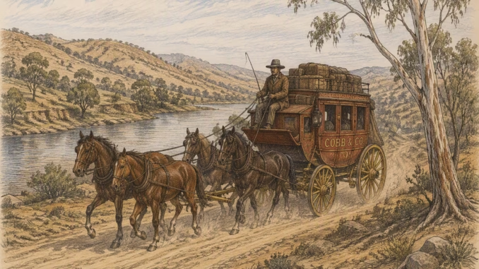
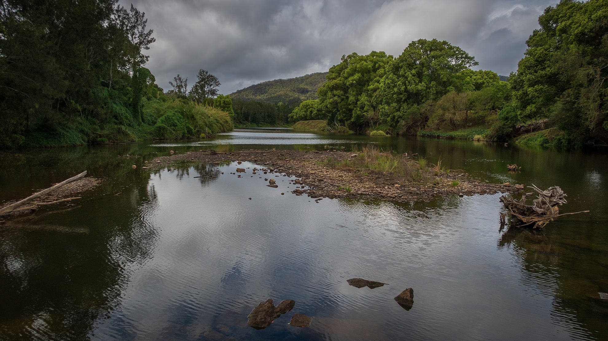
Old Lismore Road, Murwillumbah is the surviving section of one of the earliest inland routes connecting the Tweed Valley with Lismore and the Richmond River district. The road’s history is tied to the nineteenth-century development of northern New South Wales, when overland travel was essential for mail services, timber extraction, farming, and settlement.
A historical study published by the Murwillumbah Historical Society explains that the original route, often called the Nightcap Track or Nightcap Road, was established before modern highways existed. During the 1860s and 1870s it formed a key mail and transport link between Lismore and the growing settlements of the Tweed Valley. The track crossed the Tweed River and passed through the area of Byangum, which was planned as an important future township.
As transport networks improved, newer road alignments were constructed and traffic gradually shifted away from parts of the original route. The bypassed sections remained in local use and became known as Old Lismore Road, preserving the alignment and name of the former main road.
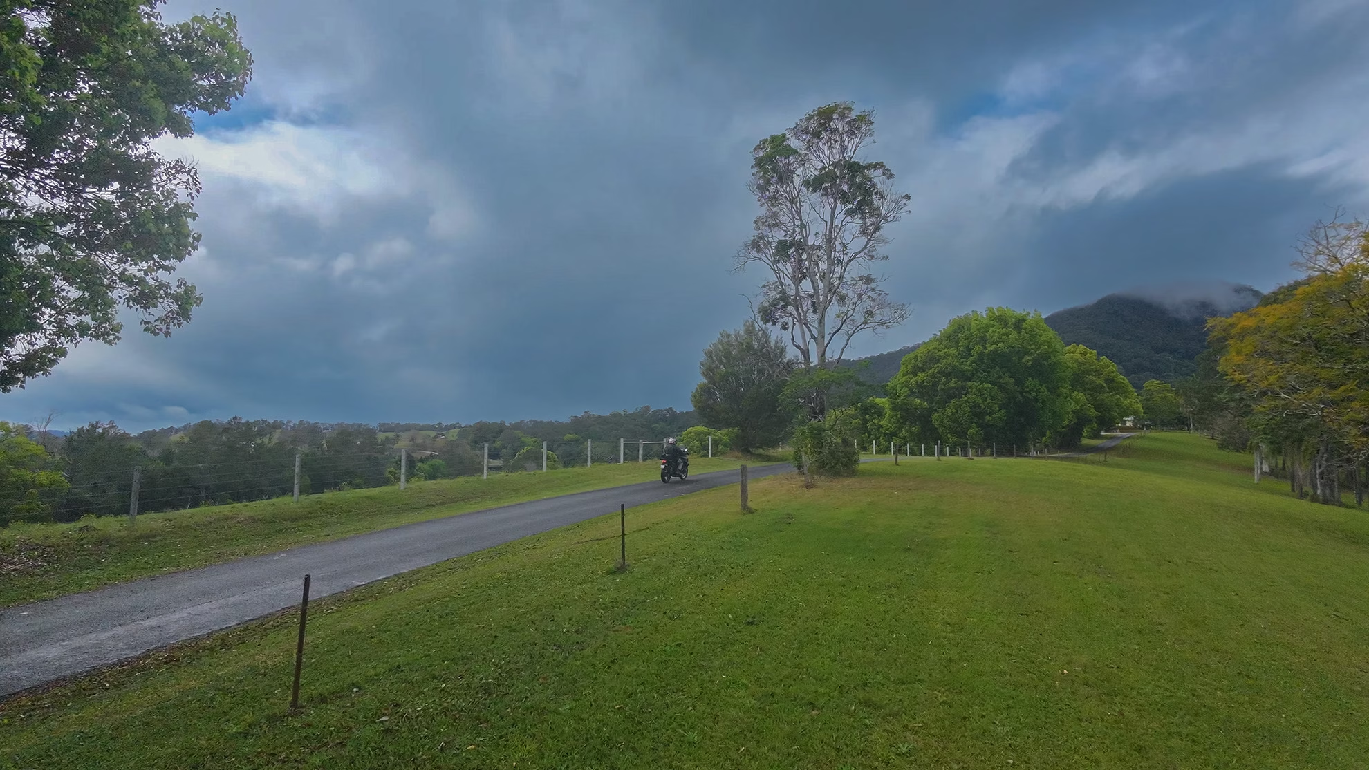
The present-day Old Lismore Road in Murwillumbah therefore represents more than a suburban or rural street. It is a remnant of the historic connection between the Tweed and Richmond districts and reflects the period when travel between the regions depended on rough overland tracks crossing difficult terrain.
One interesting detail is that the road’s history is linked to the development of Byangum, a village planned in the nineteenth century with streets, public reserves, and community facilities.
Although Byangum never grew into the major town originally envisioned, the old road remained part of the landscape and its transport history.
Key features of the plan included:
A regular grid of named streets rather than a simple rural crossroads.
A main thoroughfare called Gooninbar Street with the existing Lismore-Nightcap road running through the western side of the village.
Within the town plan this route was given street names including Terrigal Street, Bent Street, and, north of the Oxley River, Kynnumboon Street.
Land was gazetted for public facilities including:
- Public buildings
- A village green
- A hospital
- A cemetery
- Churches
- A Public School (opened in 1886)
What makes the plan interesting is that the pre-existing road did not conform to the neat survey grid. It curved through the western side of the proposed town, interrupting the otherwise regular street pattern. This shows that surveyors had to accommodate the already-established transport route rather than designing the settlement entirely from scratch.
In reality, the grand vision was never realized. The source notes that of the major public facilities planned, only the school was actually built, opening in 1886. Murwillumbah emerged as the dominant regional center instead, and Byangum remained a small village.
A fascinating consequence is that today’s route of Old Lismore Road preserves part of the transport corridor around which this “town that never was” was originally planned.
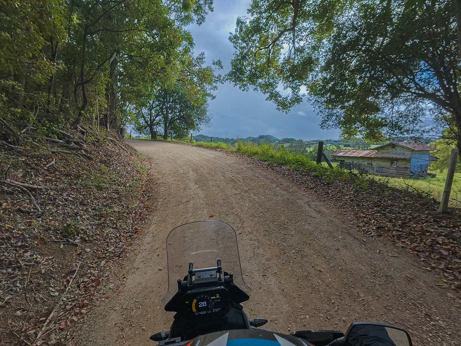
There is not a lot of the original road left and it does finish in a dead-end.



Be the first to comment