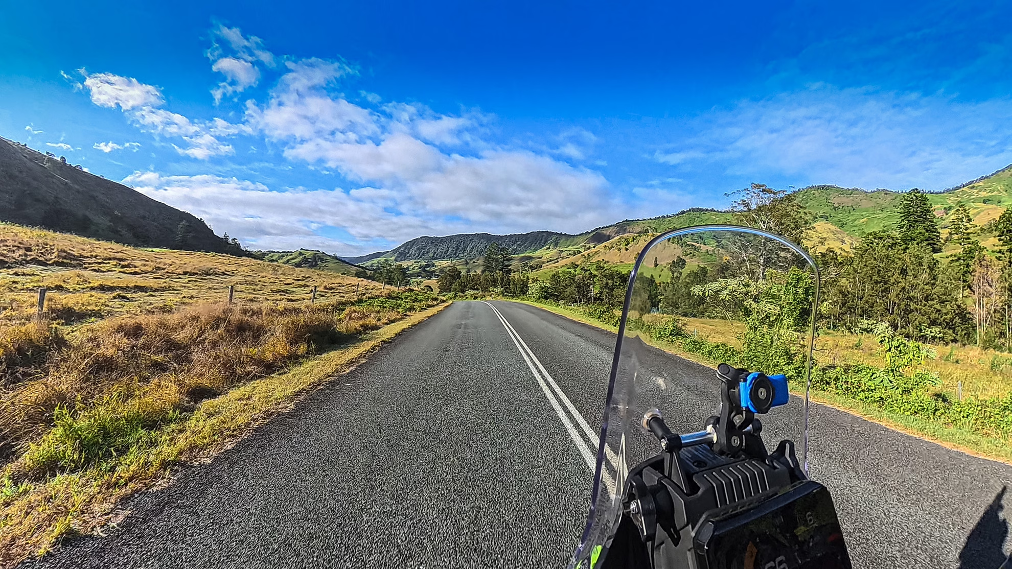
The Lions Road is a scenic route that crosses the Queensland–New South Wales border through the Border Ranges, linking the Mount Lindesay Highway near Rathdowney (QLD) with Summerland Way near Kyogle (NSW).
Origins
Since the 1930s, communities in northern NSW had pushed for a more direct road connection to Brisbane via the Richmond Gap in the McPherson Range.
The proposal was ultimately rejected by the NSW Government in 1969.
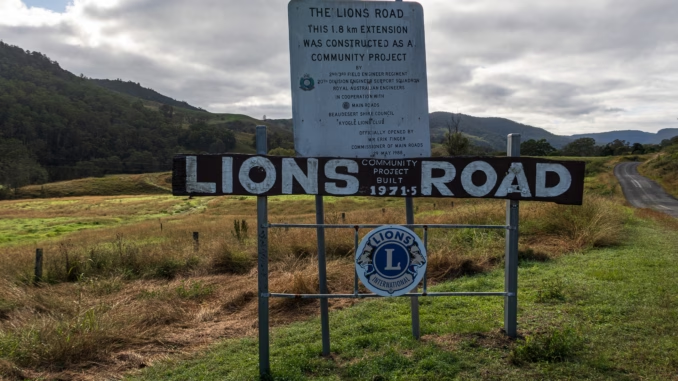
In response, the Kyogle Lions Club, supported by local communities and volunteers, championed the project as a community initiative. Most of the funding, planning, and volunteer labour came through the Lions Club, which gave the road its name.
Construction and Opening
After the government rejection, local volunteers proceeded with the project themselves as a community development effort.
The road was opened in 1970, creating the long-sought connection between the NSW and Queensland road networks through the Richmond Gap.
Some sources describe the link road as having been built by Lions Club groups from the Kyogle and Beaudesert areas around 1971, reflecting the period of construction and early development.
Later Development
Originally a narrow rural road, the Lions Road remained largely unsealed for many years. It was fully sealed with bitumen in the 1990s, although its winding mountain alignment was largely retained.
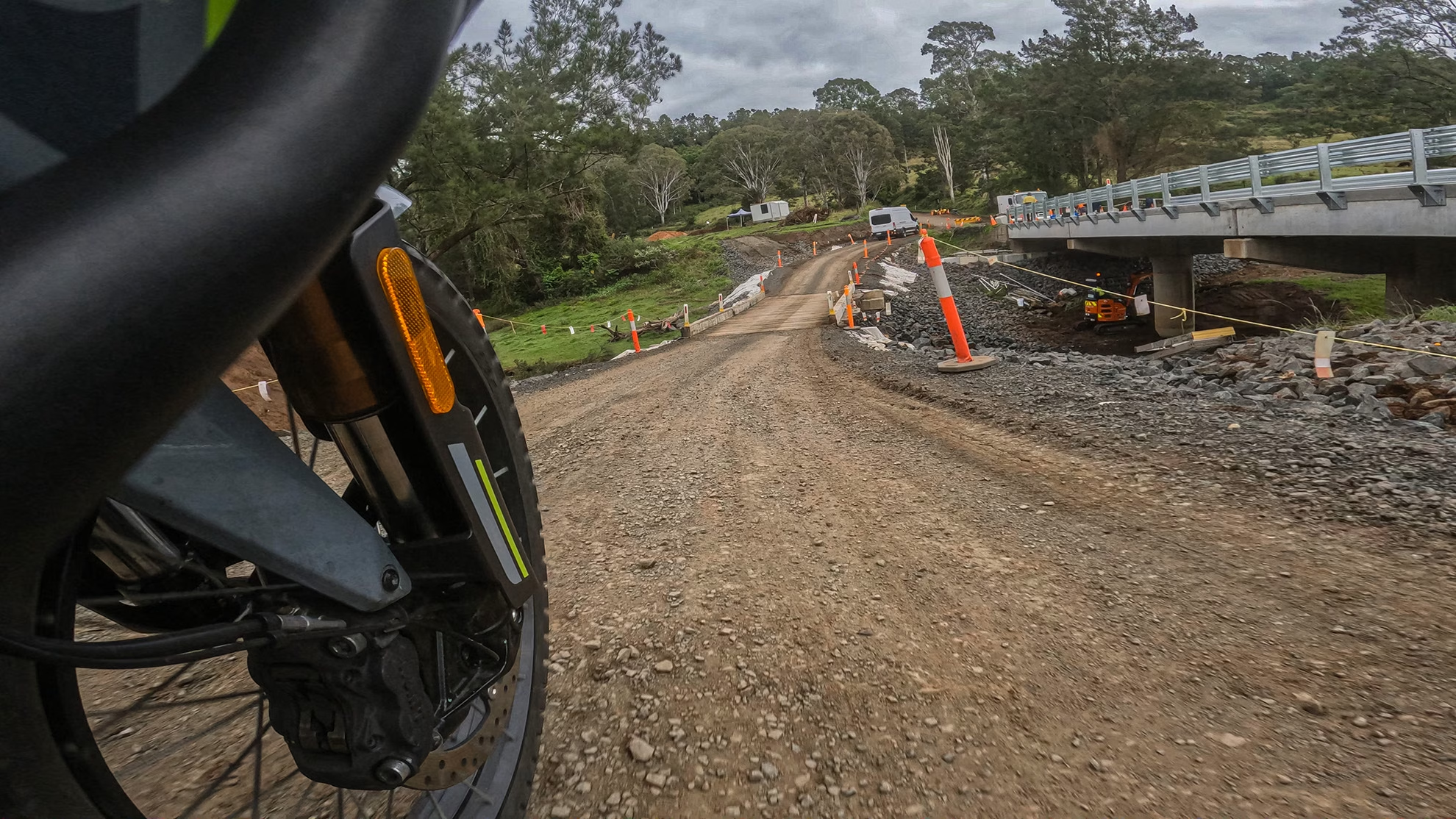
Major bridge upgrades were undertaken in 2017–18, replacing most of the older timber bridges with concrete structures. The road was fully reopened in May 2018 after those works.
It closed again in 2025 following landslides caused by months of heavy rain. It reopened in mid 2026.
Today the Lions Road is a unique example of a major cross-border road connection that was largely achieved through community effort and Lions Club volunteerism after official government support was denied.

Fantastic photos and commentary