
History of Kyogle, NSW
Kyogle, in New South Wales’ Northern Rivers region, has a rich history shaped by the timber industry, dairy farming, and architectural legacy.
European explorers arrived in the late 1820s, and by the 1840s, the region, then called Fairymount, had been incorporated into seven pastoral stations along the Upper Richmond River.
From the 1860s, timber getters exploited rich forests of red cedar and hoop pine. Cedar logging peaked in the late 1800s before being largely depleted by the 1890s; hoop pine harvesting followed.
The 1860s Free Selection Act subdivided large pastoral leases into smaller farms. By 1905, 551 farms, mostly dairy—operated in the district, leading to construction of a creamery and, in 1905, a butter factory.
In 1901, “Kyogle” appeared on official maps with a population of just 51; within a decade it exploded to 1,226, becoming the fastest-growing town in the North Coast region.
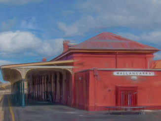
Infrastructure improvements soon followed: roads, bridges, and private motor vehicles emerged early in the 20th century, and the North Coast railway arrived in 1910, enhancing commercial connections.
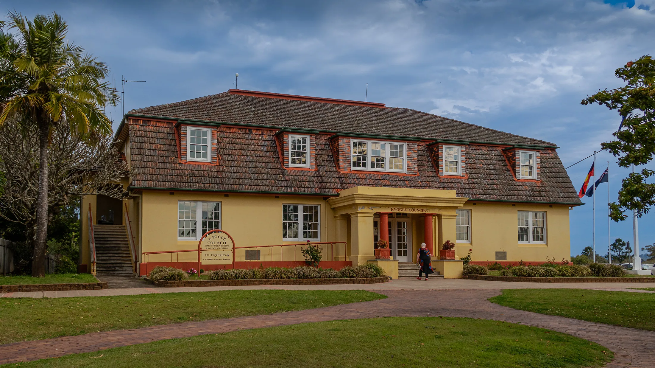
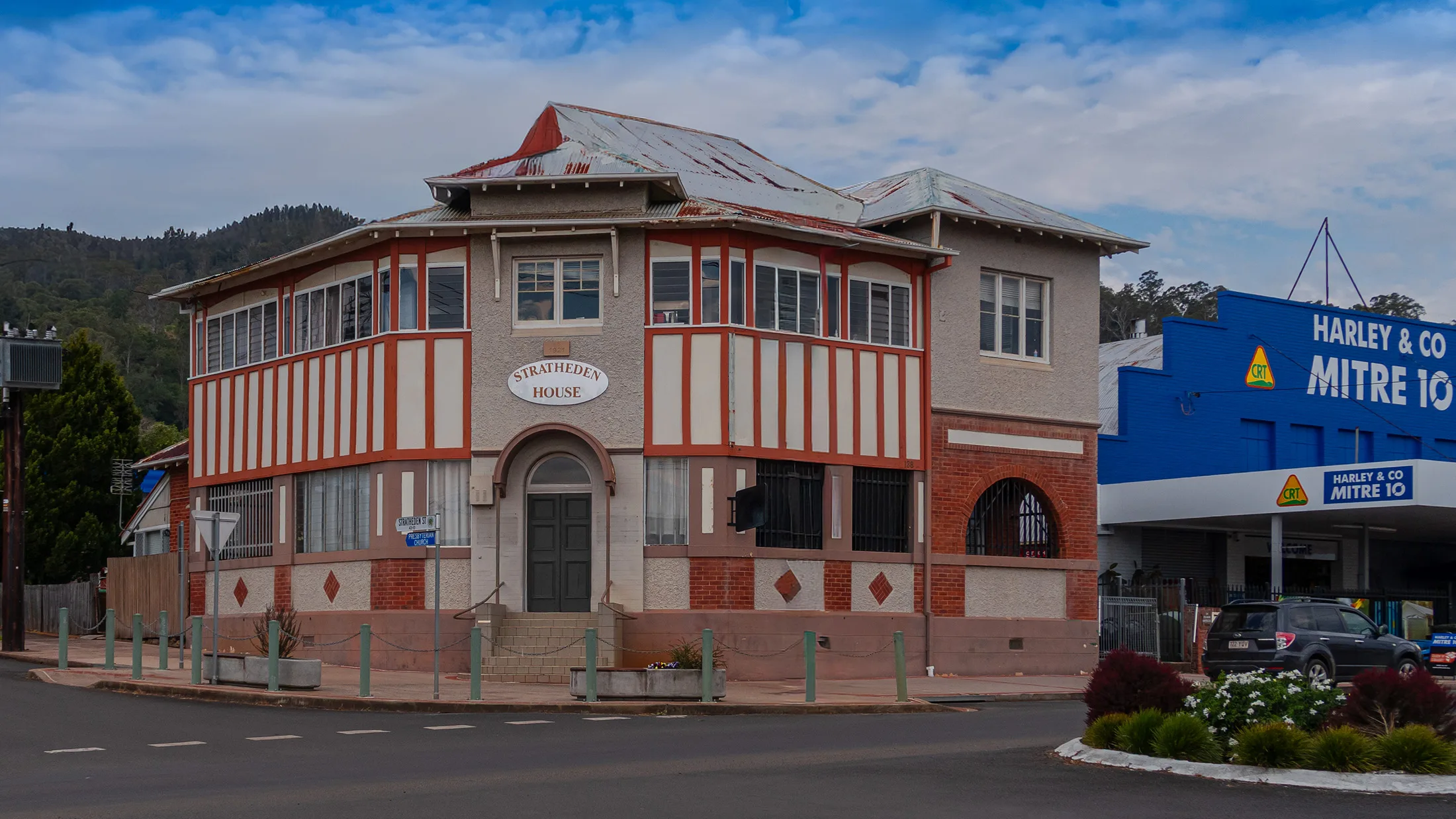
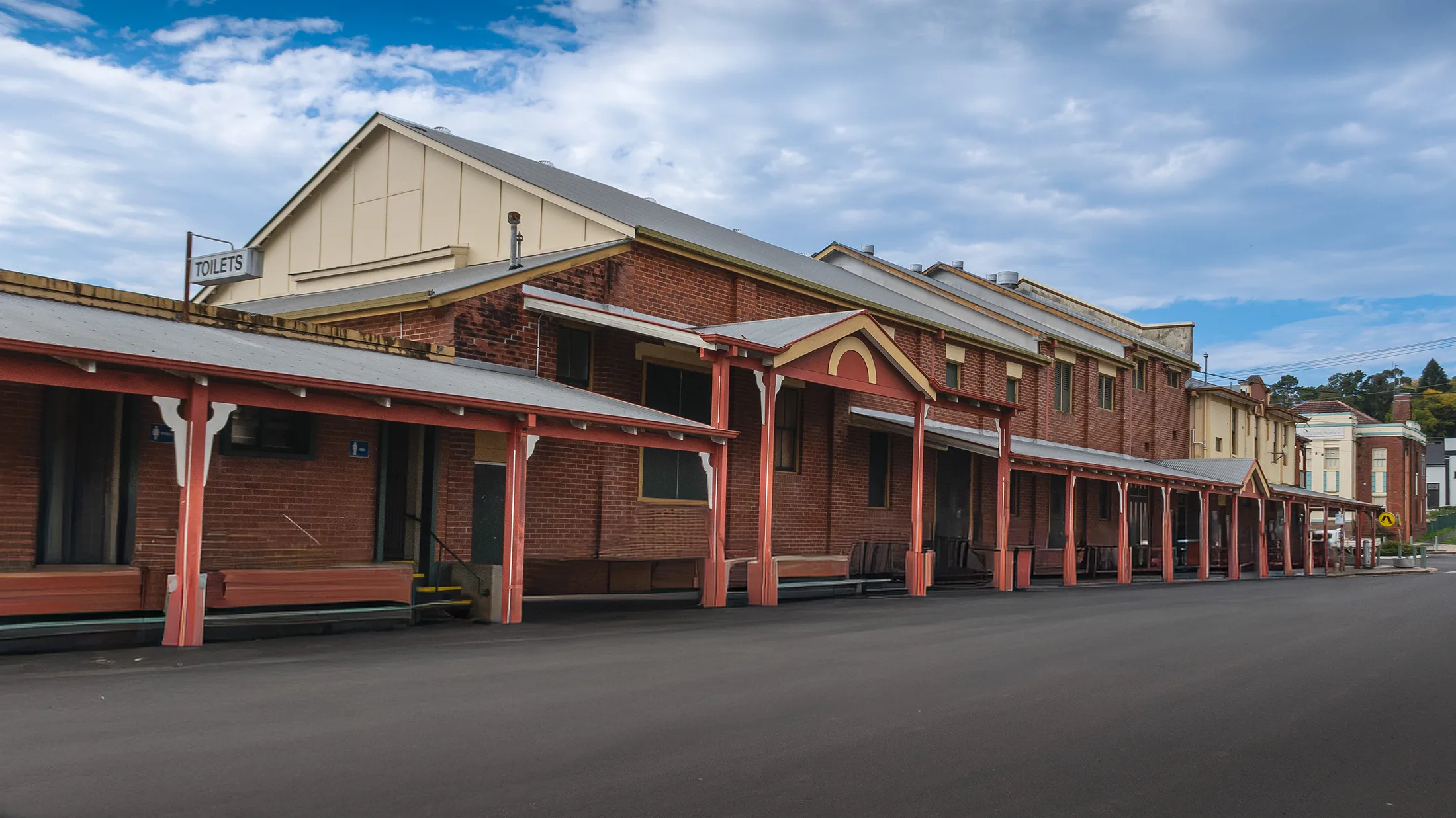
The town’s built environment later reflected both prosperity and adversity. Timber structures dominated the early 1900s, but a series of fires in the late 1920s and early 1930s prompted a shift to brick Art Deco buildings.
In the day… this transformation resulted in one of Australia’s finest main streets showcasing Art Deco architecture.
Over time, the economic focus transitioned. Dairy peaked in the 1950s with more than 520 dairy farms, but by the late 1970s only 118 remained—a decline echoed in the later decades. Nonetheless, timber and dairy persisted as economic pillars.
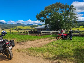
Today, Kyogle is celebrated for its historical charm, gateway access to the national parks, and its vibrant community, while hosting the Kyogle Historical Museum, which preserves its pre-1900 settlers’ stories and artifacts.
Kyogle Historical Timeline
Pre-1820s – Bundjalung people inhabit the region; name “Kaiou gal” means “place of the plain turkey.”
1827–1840s – European explorers arrive; area becomes known as Fairymount; seven pastoral stations established along Upper Richmond River.
1860s – Timber industry begins; red cedar logging dominates.
1861 – Free Selection Act subdivides large pastoral leases into smaller farms.
1890s – Red cedar depleted; hoop pine logging continues.
1901 – “Kyogle” appears on official maps; population: 51.
1905 – Butter factory built; 551 farms operating (mostly dairy).
1910 – North Coast railway reaches Kyogle, boosting growth.
1920s–1930s – Fires destroy timber buildings; Art Deco brick architecture replaces them.
1950s – Dairy industry peaks with over 520 farms.
1970s – Dairy declines; only 118 farms remain.
Present Day – Kyogle thrives as a cultural hub and gateway to Border Ranges and Toonumbar National Parks.


Be the first to comment